In addition to its physical products in surveying, Microdrones offers software-based solutions for processing and analyzing trajectory, photogrammetry, and LiDAR data.
Concept
UX/UI Design
Number cruncher
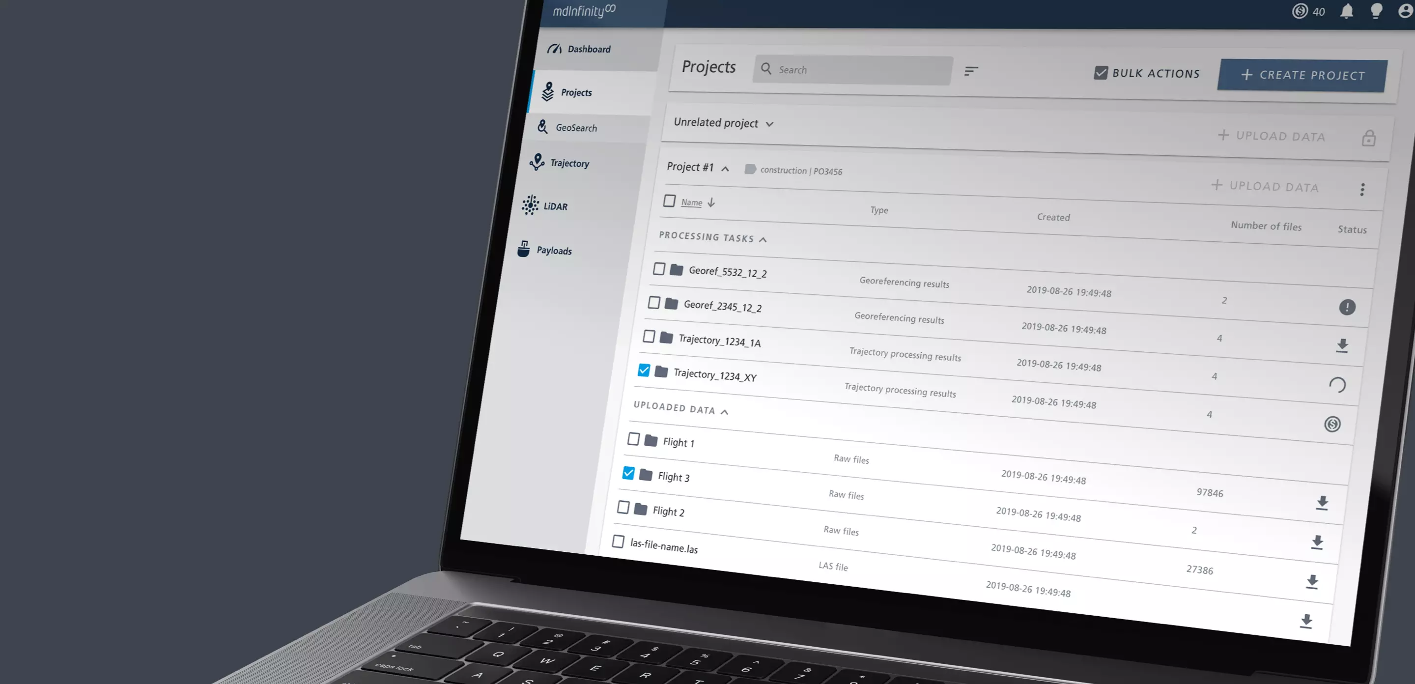
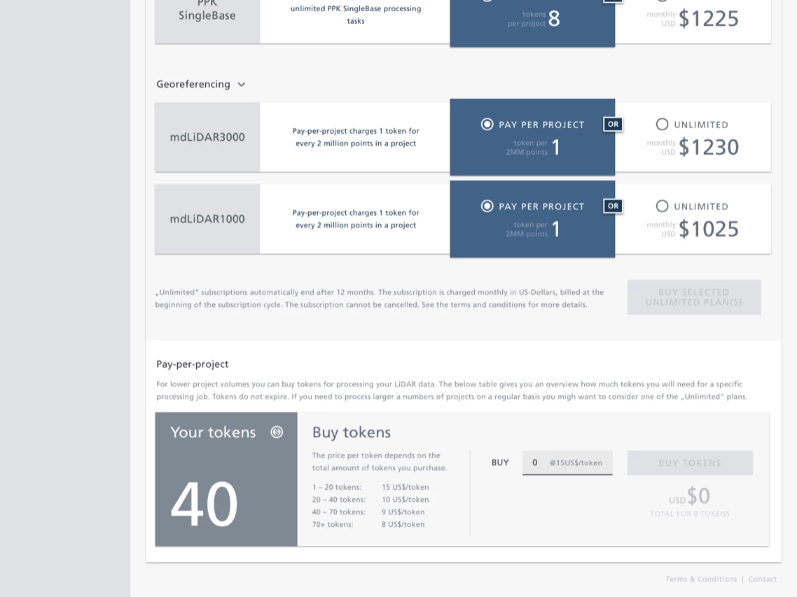
Users of Microdrones’ drone-supported photogrammetry and LiDAR data collection need tools to verify data integrity, improve, and process the collected data. This must work quickly and efficiently both in the office and on the go (without internet connection). To this end, Microdrones offers the mdInfinity service, which is available as both a web service and an offline Windows app.
For both application areas, Sofa53neun has created a simple and consistent user interface that breaks down the complexity of data processing into manageable steps and guides the user safely through the process.
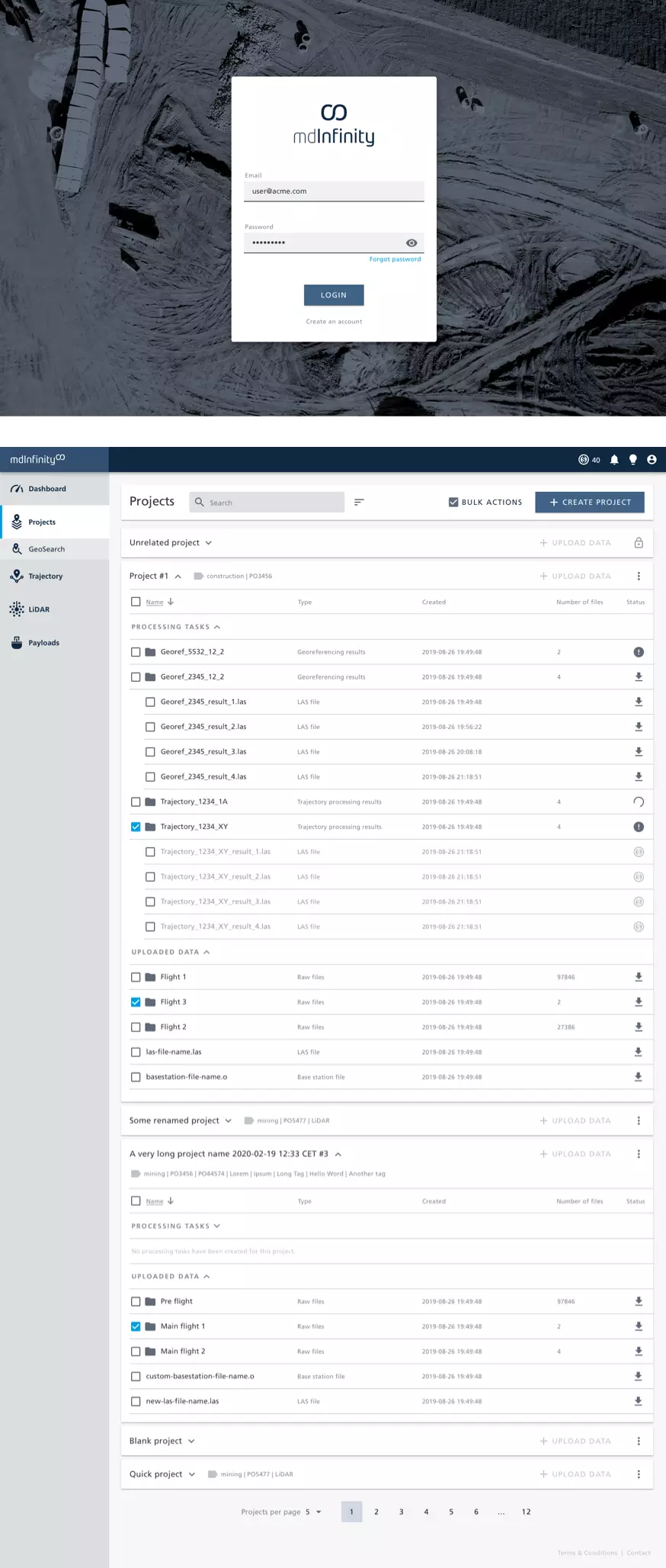


A clear layout, easily understandable icons, a tidy color scheme, and sober shapes ensure a seamless user experience both in the Windows app and on the website.
All workflows are simulated using clickable prototypes and tested in advance with the product team, so that all details are clarified during the frontend implementation and no unforeseen problems or delays occur.

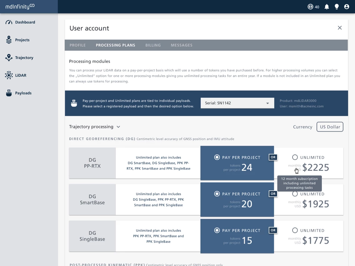
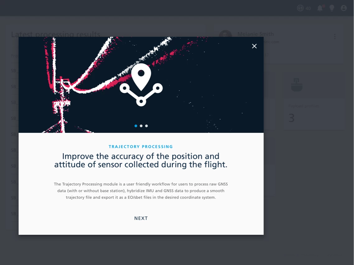
With mdInfinity, Microdrones offers a powerful tool that simplifies and accelerates the processing, optimization, and analysis of LiDAR data. The user interface designed by Sofa53neun enables intuitive operation, saving time and focusing on project and process optimization.
Simply external, complex internally
Microdrones
Founded in Germany in 2005, the company, consisting of a team of engineers, software developers, and data experts, has long been leading the market for professional drone applications, especially in surveying.
The main goals are efficiency, accuracy, and safety of the products for a future where drones are part of the daily life of cartographers, civil engineers, rescue workers, or farmers.
www.microdrones.com